
Five counties. Five distinctly local days out.
Specific places, practical details, and the local history that makes each stop worth understanding.
Start with one place that could not be anywhere else.
Each guide explains what makes the place distinctive, how it fits the surrounding county, and what to consider before visiting.
 Jefferson County
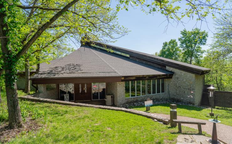
Mastodon State Historic Site
A museum-and-trail stop in Imperial built around the Kimmswick Bone Bed and the area’s archaeological importance.
Read the local guideCollapse guide
Mastodon State Historic Site
A museum-and-trail stop in Imperial built around the Kimmswick Bone Bed and the area’s archaeological importance.
Read the local guideCollapse guideMastodon State Historic Site is not simply a themed park. The Kimmswick Bone Bed produced evidence associated with mastodons and human activity, making the site nationally significant. The museum supplies the context; trails and picnic areas make it workable as a half-day local outing.
It is also a useful introduction to northern Jefferson County. Imperial sits close to the I-55 corridor, yet the site’s woods and archaeological landscape show how quickly the county changes away from commercial roads and subdivisions.
 St. Louis County
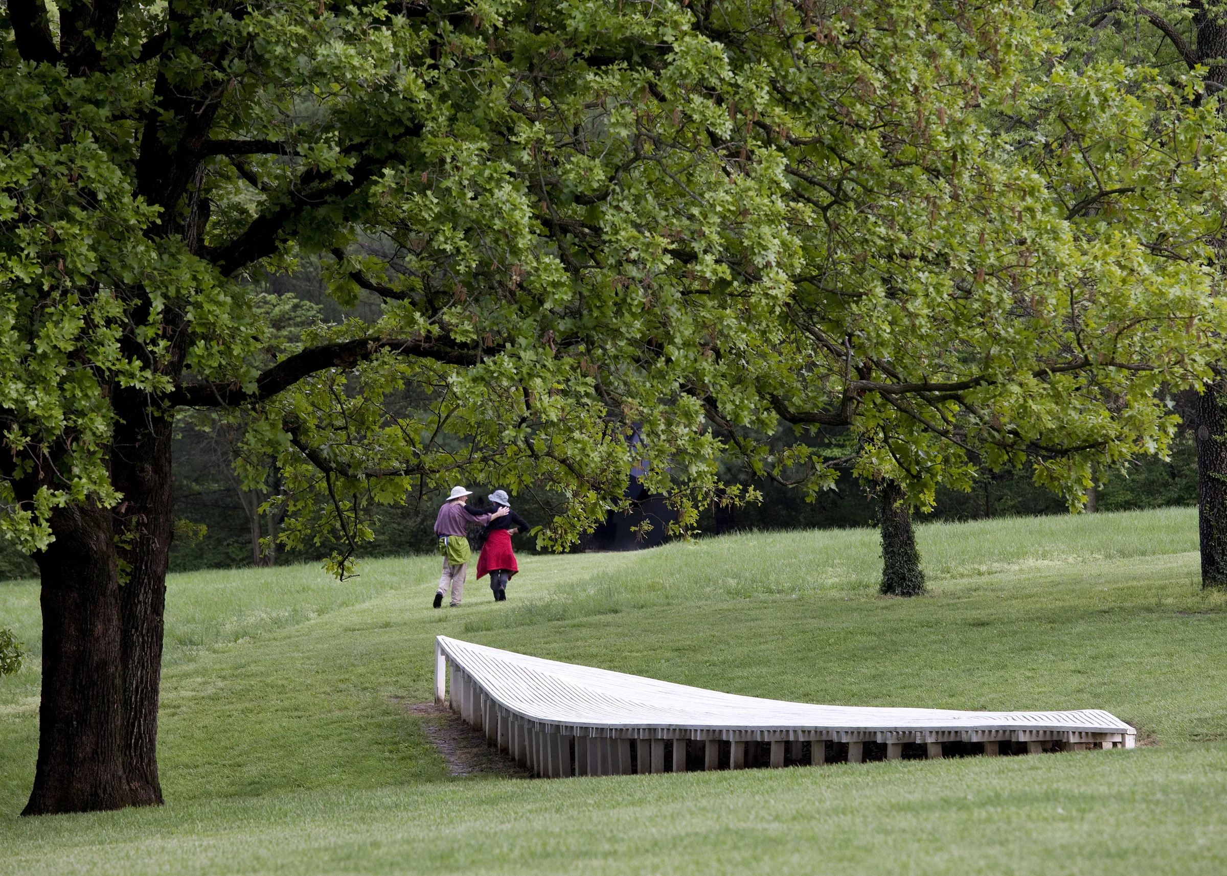
Laumeier Sculpture Park
A free outdoor museum in Sunset Hills where large-scale sculpture is set across a 105-acre park.
Read the local guideCollapse guide
Laumeier Sculpture Park
A free outdoor museum in Sunset Hills where large-scale sculpture is set across a 105-acre park.
Read the local guideCollapse guideLaumeier began with land bequeathed to St. Louis County and a major gift of artwork from Ernest Trova. Today the walking experience moves between lawns, woods, galleries, and large-scale pieces instead of keeping the art inside one building.
It works differently from a conventional museum: footwear, weather, and daylight matter, and some of the experience is the distance and changing landscape between works. The park is free for ordinary daily visits, although special events can change access.
 St. Charles County
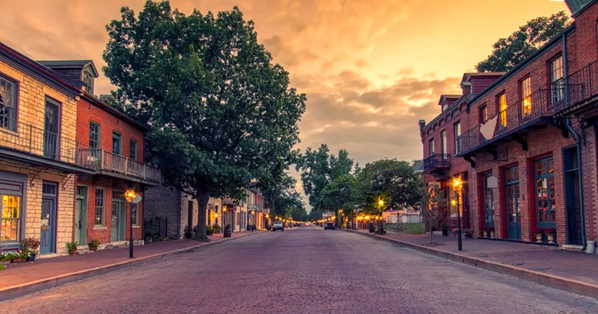
Historic Main Street St. Charles
Brick streets, preserved commercial buildings, Missouri River access, shops, restaurants, and the First Missouri State Capitol complex.
Read the local guideCollapse guide
Historic Main Street St. Charles
Brick streets, preserved commercial buildings, Missouri River access, shops, restaurants, and the First Missouri State Capitol complex.
Read the local guideCollapse guideMain Street is one of the clearest places to see St. Charles County’s older identity before the region’s newer I-70 and Route 364 growth. The historic district runs alongside the Missouri River and connects to Frontier Park and the Katy Trail corridor.
Parking, crowds, and the feel of the district change during festivals and weekends. Visit during an ordinary weekday and during an event if the area is part of a relocation decision; the two experiences can be very different.
 Ste. Genevieve County
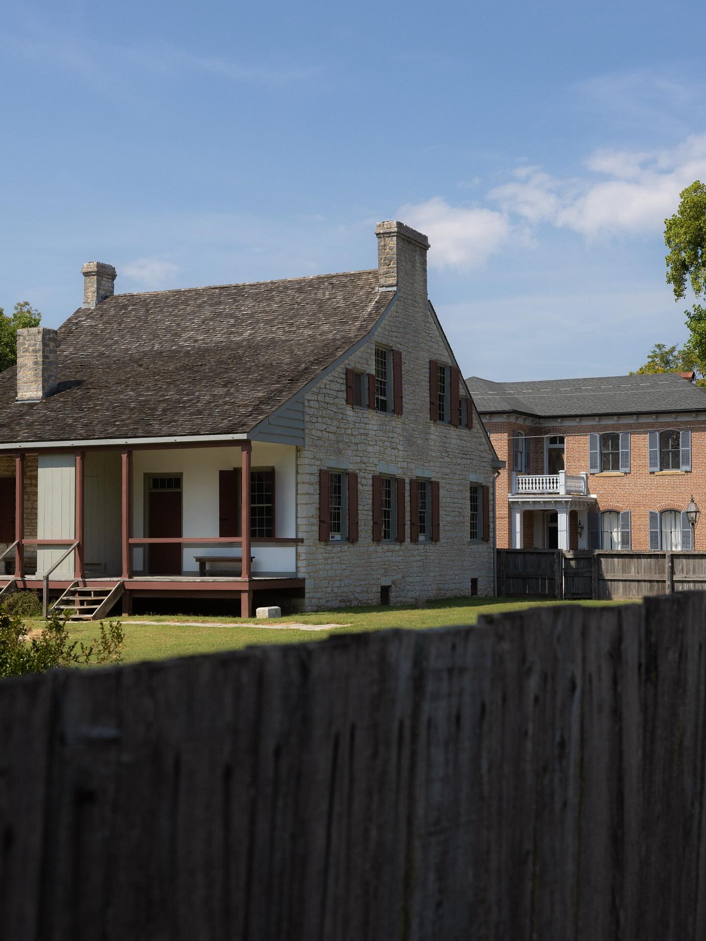
Ste. Geneviève National Historical Park
A nationally protected historic district interpreting Missouri’s early French colonial community and surviving vertical-log architecture.
Read the local guideCollapse guide
Ste. Geneviève National Historical Park
A nationally protected historic district interpreting Missouri’s early French colonial community and surviving vertical-log architecture.
Read the local guideCollapse guideSte. Genevieve was established by 1750 and relocated after the 1785 flood. The National Park Service works across multiple historic properties rather than inside one fenced campus, so the town itself is part of the visit.
Start at the Welcome Center, then walk or tour the historic district. The unusual vertical-log construction, streetscape, and relationship to the Mississippi River make this materially different from a generic small-town stop.
 St. Francois County
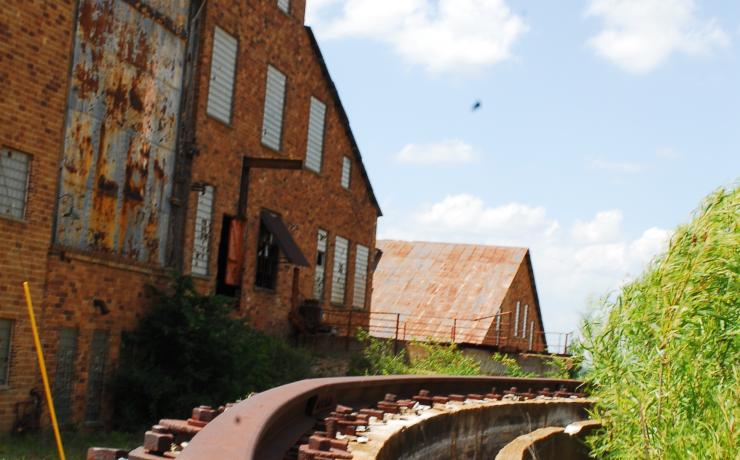
Missouri Mines State Historic Site
The former St. Joe Lead Company powerhouse in Park Hills now interprets the Old Lead Belt’s mining machinery, labor, and mineral history.
Read the local guideCollapse guide
Missouri Mines State Historic Site
The former St. Joe Lead Company powerhouse in Park Hills now interprets the Old Lead Belt’s mining machinery, labor, and mineral history.
Read the local guideCollapse guideThe 19,000-square-foot powerhouse is not a reconstructed mining attraction. It is part of the former processing complex and now contains equipment, exhibits, and a major mineral collection that explain why the Old Lead Belt developed as it did.
Pairing the museum with St. Joe State Park makes the landscape easier to read: industrial remnants, reclaimed land, trails, lakes, and off-road recreation all occupy the same larger property.
Check the details that can change the day
- Current hours and seasonal closures.
- Admission, reservations, or event-day restrictions.
- Parking and walking distance.
- Weather exposure and trail conditions.
- Accessibility for the exact route or building.
- Nearby stops that make the drive worthwhile.
References
Thinking about making a move?
Start with the question you have today. No pressure and no generic sales pitch.