
Market snapshot
Current sale price, price per square foot, days on market, concessions, and appreciation belong in the future MARIS feed. Until authorized, the guide uses dated Census benchmarks and property-specific comparable review.
Communities, housing, access, services, institutions, recreation, and the address-level details that shape a move.
St. Charles County sits west of the Missouri River and combines Historic Main Street St. Charles, large suburban corridors, major employment districts, newer subdivisions, established towns, and increasingly rural land toward the county’s outer edges.
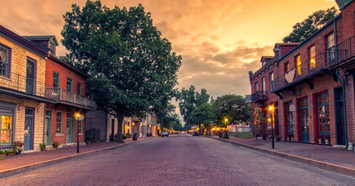
A visual starting point for St. Charles County; community galleries will grow as original photography is added.
I-70 is the primary east–west spine. Route 364, Route 370, US 61, and Route 94 distribute traffic through the county and across the Missouri River.
Commute decisions should be tested from the actual driveway during the hours that matter. Countywide averages cannot describe the first miles on local roads, river crossings, interchange traffic, construction, or the final approach to a specific destination.
Growth and new construction are central to the county’s story, but the historic riverfront, established communities, wineries, conservation land, and agricultural areas remain distinct parts of the county.
Compare municipality, school district, fire district, utility territory, transit access, housing era, and recurring destinations before treating two addresses as interchangeable.
Large planned subdivisions, newer single-family construction, townhomes, condominiums, historic housing, custom homes, and rural acreage all appear. HOA documents, special taxing districts, stormwater, road expansion, construction phase, and future adjacent development deserve review.
Current sale price, price per square foot, days on market, concessions, and appreciation belong in the future MARIS feed. Until authorized, the guide uses dated Census benchmarks and property-specific comparable review.
Residential real estate is assessed at 19% of market value in Missouri. The actual bill uses the combined levies attached to the parcel, which can differ across municipalities and special districts.
Confirm jurisdiction, zoning, setbacks, outbuilding rules, livestock, short-term rental rules, recorded restrictions, permits, and HOA obligations for the actual parcel.
Identify water, sewer or septic, electric, gas or propane, trash, stormwater, road responsibility, and broadband by service address before closing.
Use the Missouri DESE directory and official district resources for programs, staffing, calendars, and report cards. Confirm the attendance assignment directly by property address. The site does not rank schools or steer visitors.
The county handles core records and services; municipalities and special districts may add planning, code, streets, parks, police, utilities, fire, ambulance, and other functions. Start with the parcel record and county GIS.
Call 911 for emergencies. For non-emergency planning, identify city police or county sheriff, fire-protection district, ambulance district, hospital and urgent care serving the address.
Use Missouri’s licensed-childcare search, then ask providers directly about openings, age groups, hours, transportation, and fees. Review current programs and delivery options with nearby colleges and technical centers.
Enter quotes or tax figures for the addresses you are comparing. This keeps insurance, utility, and tax differences visible without relying on a generic cost-of-living score.
Annual total$0
Annual total$0
Request the current utility, emergency-contact, government, school-calendar, and move-in checklist in one printable packet.
Request the packetKyle can help identify the jurisdiction, utility setup, access, private systems, zoning questions, and due-diligence items tied to a property you are considering.
Ask Kyle about an addressStart with the question you have today. No pressure and no generic sales pitch.